I paced myself better today. Yeah, let’s go with that. That’s why I took 8.5 hours for the return trip down the Manistee River Trail. The easier route. Just 10.5 miles.
OK, it might have had something to do with me being tired, sore, and weak from the day before. Even if I’d wanted to set a faster pace, I really couldn’t. Not without a bear chasing me or something. Which there was not.
I hit the trail about 7:30; there was no point hanging around any longer than that. When I got to the “Little Man” bridge a mile or so from camp, it started to rain a little bit. I panicked briefly, but used up a little battery power to confirm that there was no serious rain coming.
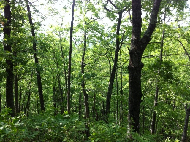
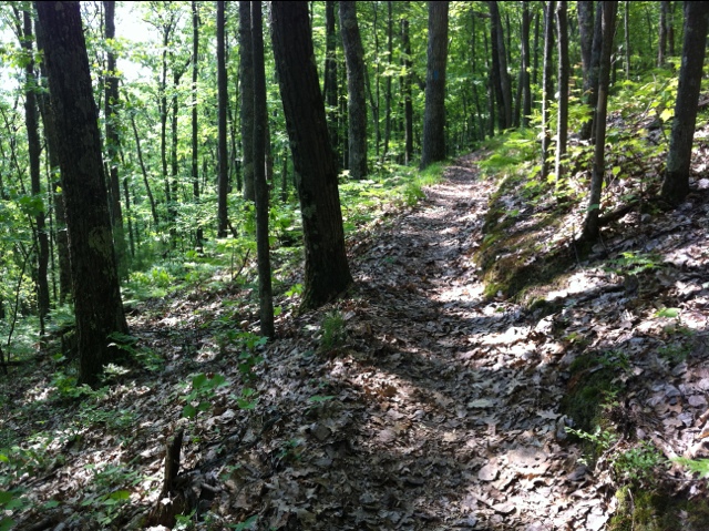
The corresponding stretch of the North Country Trail is nice, but the MRT is nicer. It is less difficult, but still not an easy hike. Don’t let the fact that it follows the river fool you: there’s quite a bit of up and down, following the contours of the surrounding land. The Manistee is no Grand River, lazily wandering the lowlands to the Lake. It cuts a course through northern Michigan hills. The bluffs on either side can be several dozen feet above the river, which often offers some spectacular vistas. But you have to climb to them.
At one point in the morning the honks of a goose alerted me to look up. I was briefly confused, because the black-and-white bird I saw had the wrong pattern. Suddenly I realized that it was a small bald eagle. Both my iPhone and my Fuji aren’t good for action shots like that, so I missed it.
I had better luck later, when I startled Bambi from some undergrowth just ahead of me. He ran a little further ahead and stopped, giving me time to snap one good picture and a couple blurry ones. Using an autofocus camera in woods is always hit-or-miss; they tend to focus on objects in front of what you wanted.
The clouds thinned, and after a while the sun came out. That’s two days in a row that were supposed to be rainy (or probably) but weren’t. Random luck. The next couple days’ forecasts call for dry skies, so… we’ll see. 🙂
A lot of other thoughts crossed my mind today, but not many are coming right now. Among them were a bunch of lessons that I’ve learned the past couple days that I’m glad I learned now rather than on Isle Royale next month. I’ll get back to those later.
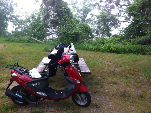
I finally reached the campground where I’d left the scooter, at 4pm. Coincidentally the same time I’d mapped out on my calendar for the trip… but that was starting 1.5 hours later. I took about a hour to change clothes and repack things for the road. In that time I found a set of keys that didn’t belong to anyone at the site at that time. Oops.
I was low on gas, and needed a few other things – including bug repellent (what, I was supposed to check that there was enough left?) and ointment for a rash on my inner thighs (the wrong underwear can chafe) – so I detoured into Mesick, where the pharmacy had closed 10 minutes earlier. Fortunately the grocery next door had what I needed.
I’d mapped out a nice backroads route to Interlochen, much of which had to be scrapped to get to Mesick instead. From there my two options were M-37 or some farm roads. Obviously I took the latter. So did everyone who wanted to go north on M-37, because that segment was closed. Fortunately that wasn’t too many people. In fact, the worst part was a steep grade I had to climb, without much of a headstart. I can do 40mph on level ground, but on this I dropped to 20mph. That could be a problem in the Porkies next month, so I’ll have to see if I can figure out the least hilly routes.
The check-in station at Interlochen State Park was already closed when I got there at 7:00. I didn’t have a specific site reserved, so I just went to the rustic campground and picked one. There are a bunch of open spots overlooking Green Lake, but they don’t have a lot of flat spots. I found one that should be good enough, and pitched the tent.
I rode into the village of Interlochen (a crossroads attached to the famous arts camp of the same name) and ended up at the Hofbrau, which is good but expensive: dinner and two draft beers for $27 (plus tip)!
Because I was a tightwad in my planning (if not my eating), I’m camped in a “rustic” section separate from the main campground, so I had to take a short ride down the road to take a shower. It was worth it.
It’s a starry starry night and it promises to be a sunny day tomorrow. Despite my condition, which leaves me unenthusiastic about any hiking, I figure I’ll be good for a day of riding. Old Mission Peninsula, Leelanau Peninsula. And the Sleeping Bear Dunes area await me.


