Archive for the ‘Uncategorized’ Category

VanBuren arrival

Monday, 11th June 2012; 6:19 pm - Location:

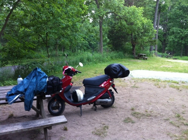
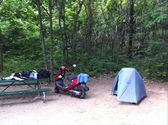
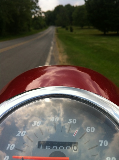
I arrived at VanBuren State Park around 5:30. Considering I started around 7:30 this morning, that’s a long day of riding. But I took it pretty easy, so I’m not exhausted. I stuck to county roads most of the last leg, including the spot where I hit 25K miles.

Last year when I reached Saranac, I had the feeling that I was all-but-home, since I’d been there on several day trips. This isn’t quite that familiar, but I have reached the point now where I don’t need a map anymore; I know my way from here. And it’ll be a short ride, especially if I don’t stop.

20120611-181916.jpg
This campground isn’t any more full than Pokagon, which means I kind of wasted my $8 reservation fee. Oh well. I paid the $5 fee for my “Michigan Passport” which will also get me into the other state parks I’ll be visiting next month.

15000

Monday, 11th June 2012; 4:51 pm - Location:

‘Nuff said.

20120611-165117.jpg

Cassopolis

Monday, 11th June 2012; 3:11 pm - Location:

I’ve stopped in Cassopolis to make the call: to VanBuren State Park for the night, or turn right and make for home. Well, the sun is out (briefly) and I’ve decided to continue as planned. The north half of the storm front that’s been coming from the west has fizzled, so it looks like probably a dry evening.

Cassopolis does mean Cass County, however, so that means I’ve achieved the objective of visiting the counties I had to skip last year.

I’ve had the wind at my back most I the time since Middlebury. I noticed this clearly when I was going over 40mph on level ground; normally the best I can get is “almost 40″.

20120611-150005.jpg

Amish country

Monday, 11th June 2012; 12:31 pm - Location:

Even though one of the goals of this trip is to visit certain counties in Michigan, I wanted to swing thru Amish country as long as I was in the neighborhood, and that means returning to Indiana.

In mapping out my route ahead of time, I happened to see a road that sort of cut a diagonal across one of the rectangles formed by the grid of highways. It was a good choice. It meanders a bit, connecting with a few other local roads, and serves mostly to provide access to family farms, including some that are clearly Mennonite or Amish. The road is barely more than a single lane wide, but it’s paved, which is all I care about. It was a nice chance to slow down to 25mph or so. I did have to watch out for horse droppings of course. Lots of cattle and horses, crops, laundry hanging out to dry, etc. I saw a few people – including two men in straw hats fixing a fence – and traded nods and a friendly smile with one of them.
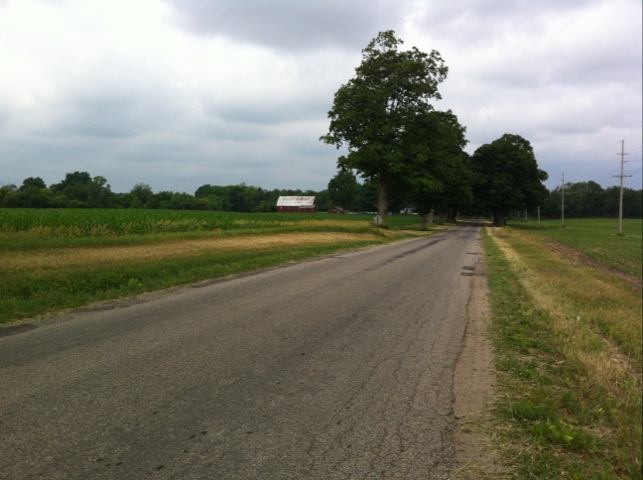
20120611-123130.jpg

Shipshewana was every bit the tourist trap I expected it to be. Mostly “English” businesses selling Amishesque merchandise and Amishlike experiences. I moved on.

Middlebury is a little bigger town, and here I stopped for lunch, at a nondescript diner with the equally nondescript name Village Inn. A basic menu of sandwiches, pizza, burgers, and so on. Interestingly one of the waitresses wears a bonnet and plain lavender dress; another young woman in a bonnet is in the kitchen. There are buggies passing by from time to time here. It feels like a less contrived blend of cultures.

I was puzzled at first by the wide paved shoulders on the main roads around here. Then I noticed that they were generally littered with shit. They are (effectively) buggy lanes. I used one (a clean one) to get out of the way of a semi, but otherwise I’m staying clear of them, for the Amish folks’ safety and my own.
Sturgis

Monday, 11th June 2012; 9:53 am - Location:

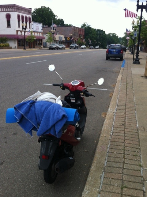
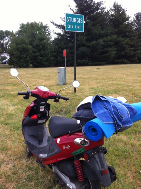
I can now tell people that I rode my scooter to Sturgis. Not the one in South Dakota that has a huge motorcycle rally every year, where a guy on a cute little red scooter would face certain death. The one in southern Michigan.

20120611-095315.jpg

US-12 runs thru it, which I gather is a popular motorbike touring route (it used to be the highway from Detroit to Chicago before the interstate), so they probably get a fair number of bikers here too. Personally I’d much rather take the route I did: mostly on Southern Road, which runs irregularly parallel to the border. You have to jog north and south from time to time, just enough to keep it interesting. Little traffic, just plenty of opportunity to play Name The Crop.

Backing up, I started the day on Indiana State Road 120, which I expected to be busier than it was. It runs along I-80/90, which ordinarily would make it a perfect road, but that interstate is a toll road, so I expected lots of toll dodgers. There were some, but not too many. I could’ve taken it farther, but this is MI Way not IN Way, so I took the northern route in Michigan.

The southern rain blew over, leaving it cooler and mostly cloudy, but dry. I stopped to take off my rain gear, and did it none too soon. The rain cover for my rear rack was half off and probably would’ve blown the rest of the way off soon. The rain coming from the west looks like it might be dissipating, which would be lovely.

Bye Pokagon

Monday, 11th June 2012; 7:39 am - Location:

I forgot an important rule about incoming bad weather: if the night was dry but the morning brings rain, break camp right away and get the gear stowed, before the tent gets rained on. I had to towel off the rain fly before putting away the tent, or the whole thing would be damp tonight.

I’ve showered and eaten a little breakfast, and the scooter is packed in rain mode. This is earlier than I planned to get underway, but considering the uncertainty of the weather, it’s probably best that I do so.

20120611-073838.jpg