After reaching St Ignace, I headed to the cemetery next to the State Park, which both have a great view of the Bridge. A middleaged woman on a Yamaha Vino 50 arrived and appeared to be tending a grave. She approached me, and I asked if she’d ever taken it on the Bridge. She hadn’t, but she’s walked it (on Labor Day) and she said something about being up the towers(!).
I grabbed lunch at the Driftwood Motel restaurant in St Ignace, where I had a nice turkey panini. I still had half a tank of gas, but wasn’t completely confident that I’d find a gas station before reaching DeTour (I would have). But figuring that I’d have to fill up in DeTour regardless (to make it to Sault Ste Marie tomorrow) I bought half a gallon of gas.
My route from there was simple enough, but I managed to good it up anyway. Trying to get on the Mackinac Trail out of St Ignace, I missed the turn off and found myself Onths parking lot for Castle Rock, an outcropping of rock with a tourist trap attached. Knowing that a hike up to the top would only freak me out, I turned around and found the turn-off.
The route consisted mostly of two state highways. As a rule, letter-number roads like M123 and M134 would be bad for me, but they are literally the only way to get there. Fortunately “there” is not a major population center or tourist destination, so the amount of traffic wasn’t bad. Almost every time an SUV, car, or semi pulled up behind me, he could immediately pull over and pass.
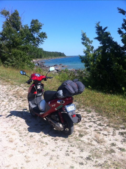
I also pulled over for time to time myself. One place was Hessel, a little marina village, next to Cedarvile, a village with a gas station. Hessel had… a phone booth. Welcome back to the 20th century. 🙂
