Bats, man: the dark night

Wednesday, 22nd July 2015; 10:46 pm

Anyone who likes camping should love bats. 

I mean, if you don’t like mosquitoes, you should like bats, just on principle, because bats eat mosquitoes. Lots of mosquitoes. Which are a big deal if you camp. 

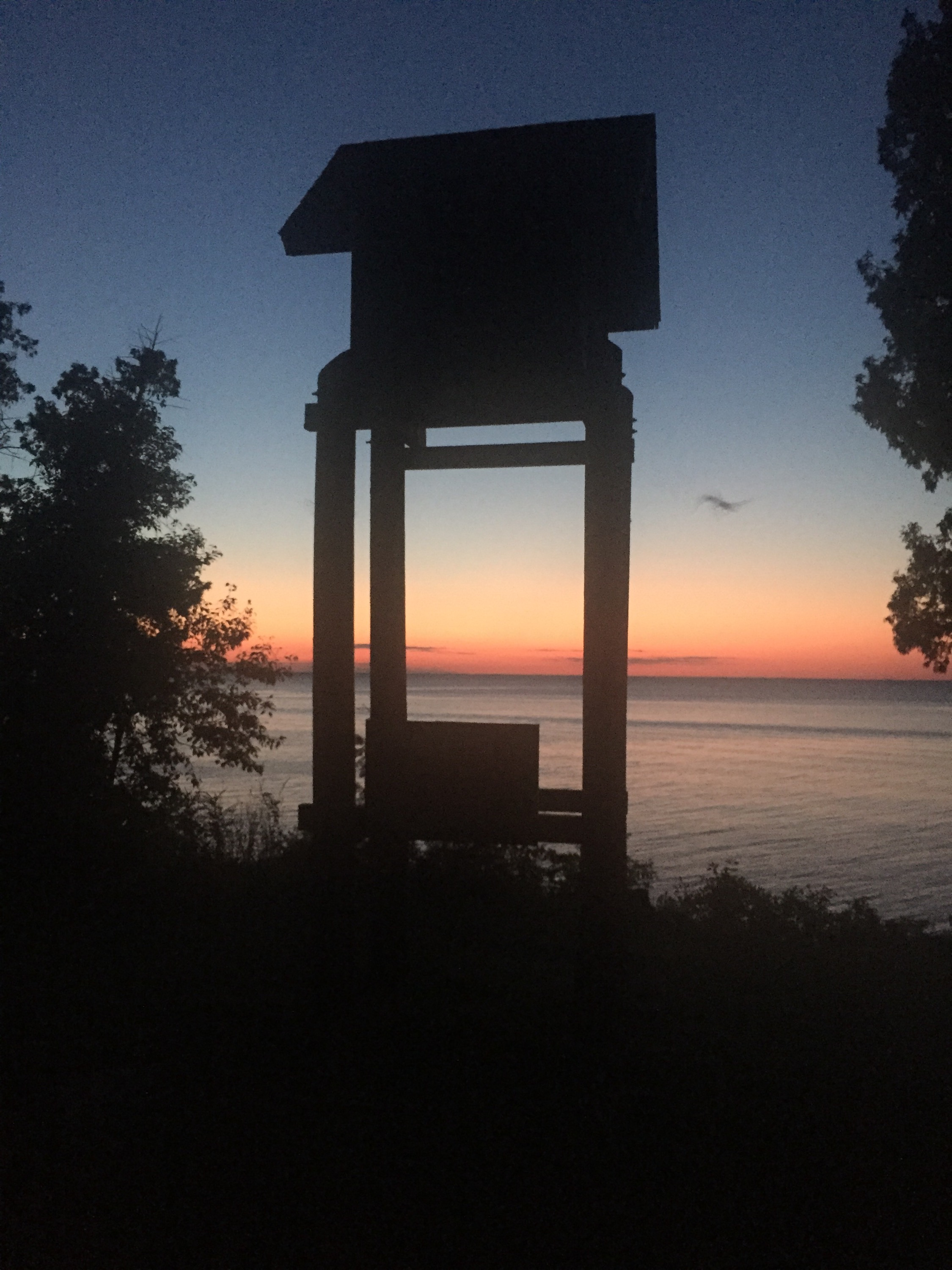
At the shore by my campground they have some bat boxes: structures set up to serve as homes for bats. And every night after sunset, the bats emerge. They’re hard to photograph, but I gave it a try.   

North Door Sunset

Wednesday, 22nd July 2015; 9:46 pm

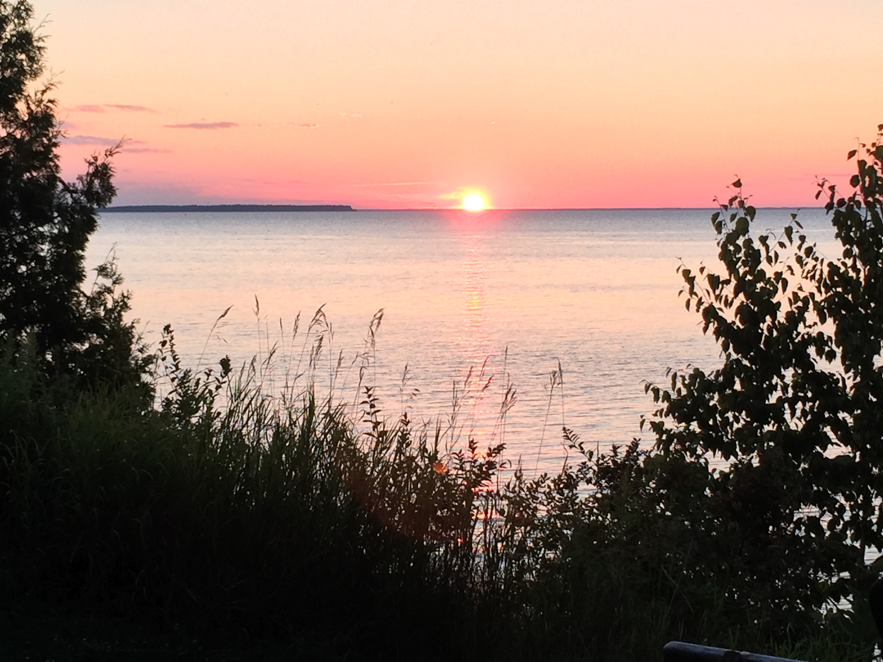
I keep finding it briefly confusing when a sign refers to “Door” as the name of the county or peninsula. It reads like they’re talking about the “north door” to something. 

But even with Wisconsin in the way across Green Bay (the bay, not the city) a north door sunset can look pretty. 


Gas mileage

Wednesday, 22nd July 2015; 7:54 pm

By the way, I’ve been getting outstanding gas mileage. I normally get around 95mpg commuting in the city, which most people would consider pretty good. But with rural riding that’s more like your “highway” miles, I’ve been topping 100mpg. 

Today I logged a fill-up that worked out to 116.5mpg

And it wasn’t a clerical error, because I remember approximately what the odometer read the previous time I filled up. (It’s important to pay attention to that when you only get around 100 miles on a full tank.)

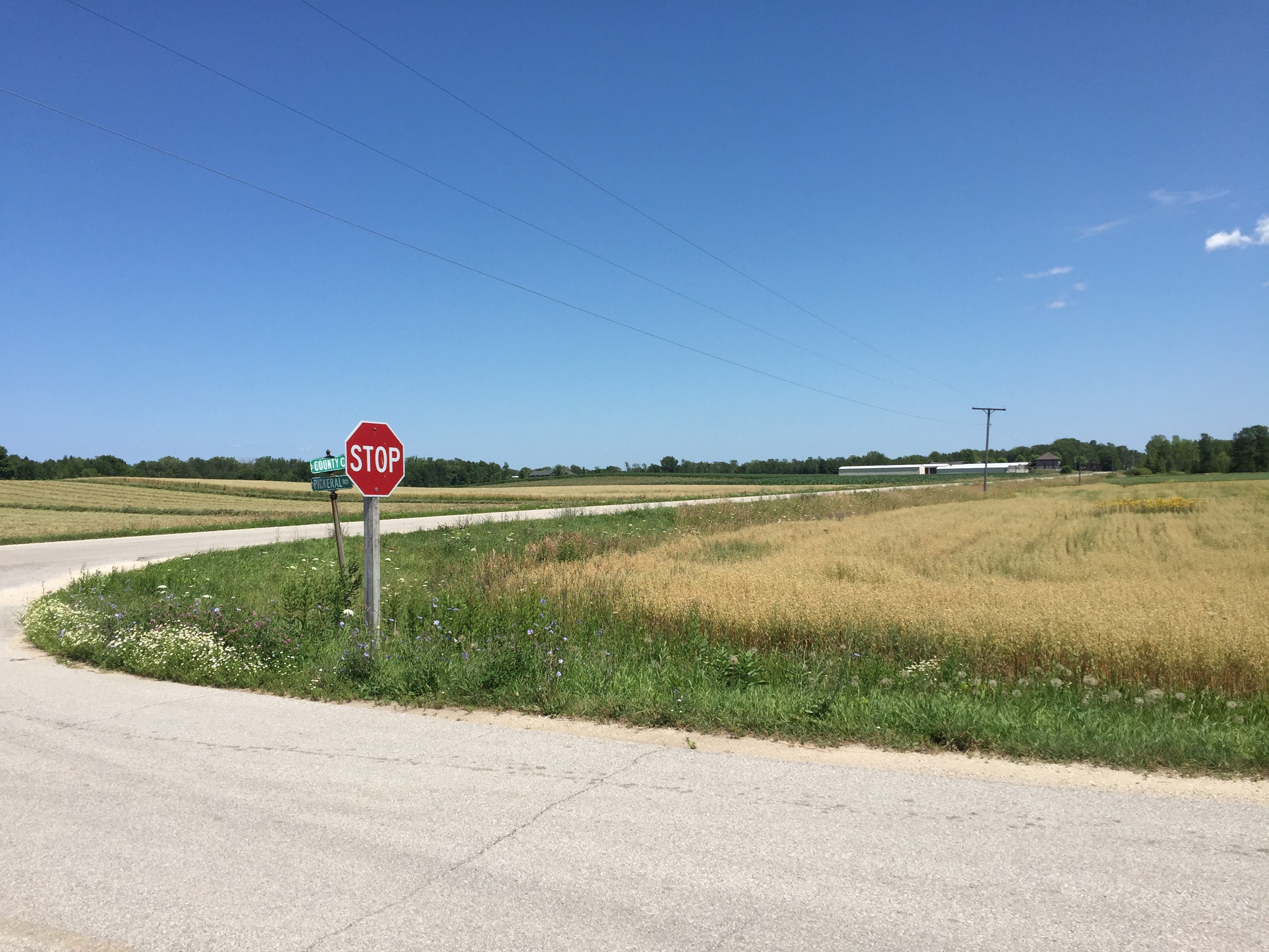
Now enjoy this shot of a rural intersection. 🙂


Fish Creek

Wednesday, 22nd July 2015; 7:38 pm

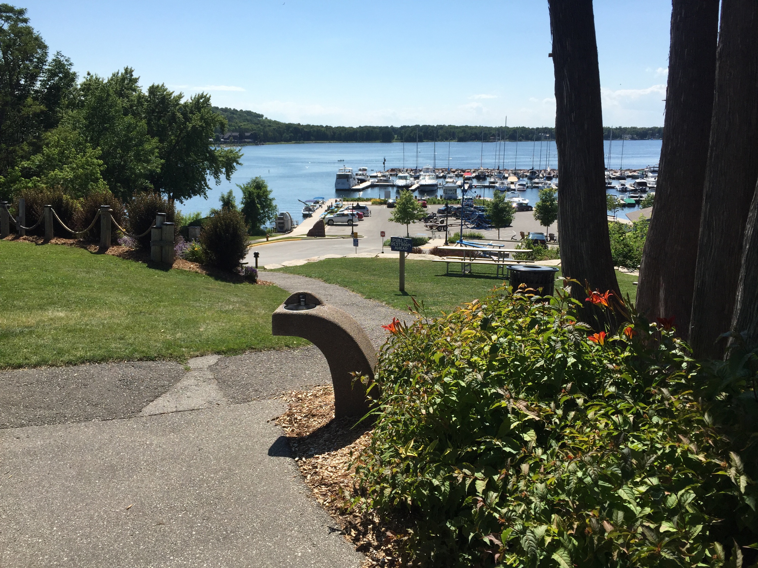
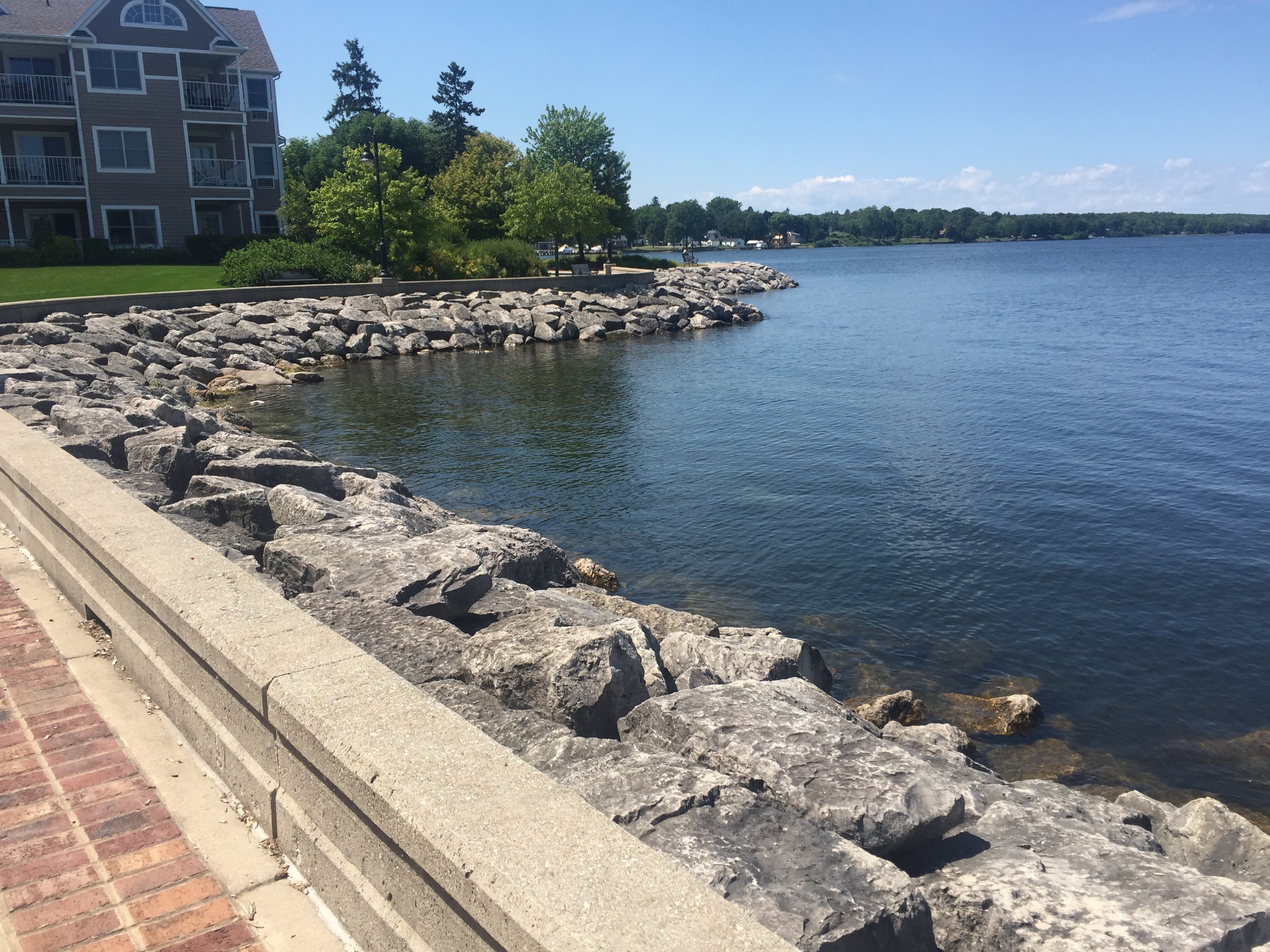
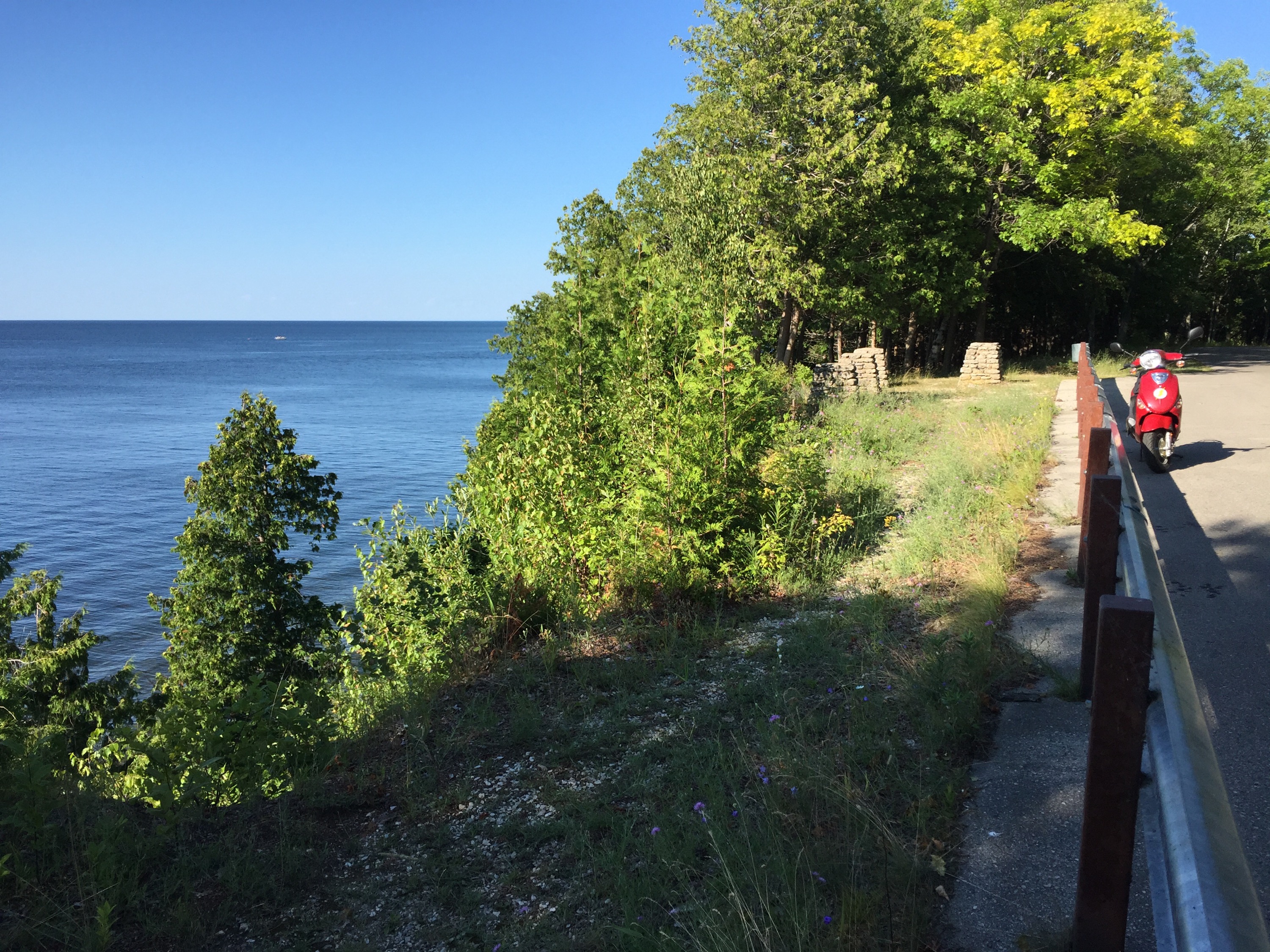
When planning my route I try to look for roads called things like “Lakeside Road” or “Scenic Drive”; 9 times out of 10 they’re a nice ride. This afternoon, because of the particular geography of this trip, the key word was “Bay Shore”… as if the line tracing the edge of Green Bay wasn’t clue enough. And it ran for a relaxing 13 miles: no turns (except curves of course), very little traffic, and of course views of the bay. 

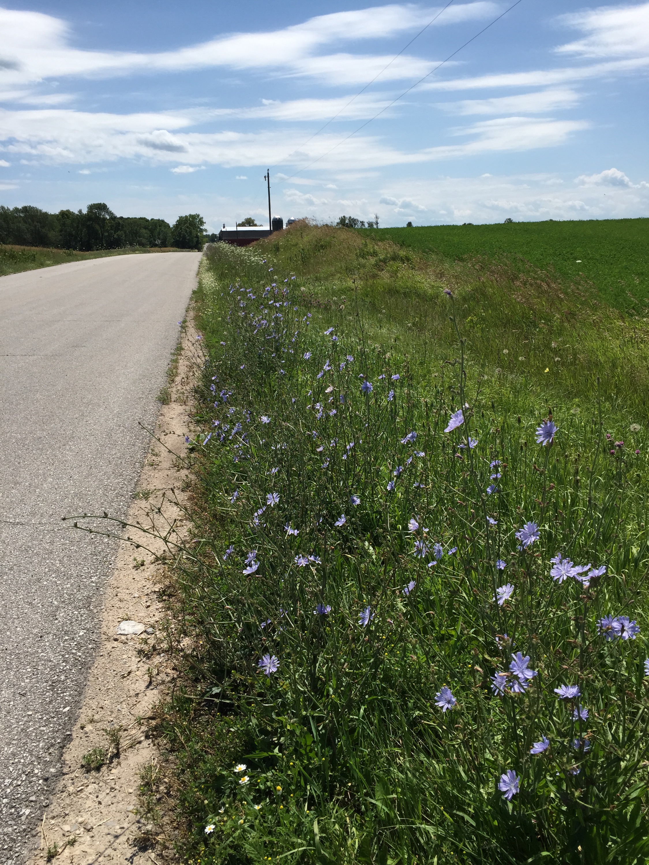
I stopped at various county and local parks along the way, as much to stretch my legs as to enjoy the scenery. Which is how I like to travel. There was also a bit of farmland to go through, which is nice and relaxing and scenic in its own way. 
  
I had a couple of towns that I passed through on the way to the state park: Sturgeon Bay and Egg Harbor. The former is a relatively large place, with a shipyard that dominates it’s otherwise pretty harbor. It has two bridges across the inlet: and old metal structure in the style of GR’s Sixth Street Bridge that had a metal grate I could hear from a distance, and a newer cement-paved drawbridge. I took the latter. I only stopped briefly in Egg Harbor; it’s a speck on the map, but it’s got a but if that Lake-Michigan-harbor-town thing going.   
 
My camp site tonight (arrived at 4:30, 8.5 hours in the road) is at Peninsula State Park, which dominates (by area) the town of Fish Creek which sits next to it. It has several hundred camp sites at all of the campgrounds combined.  With all the hiking trails and biking trails, lighthouse, nature center, and even outdoor theatre productions, it’s the sort of place one could spend several days. But I’m just passing through.   
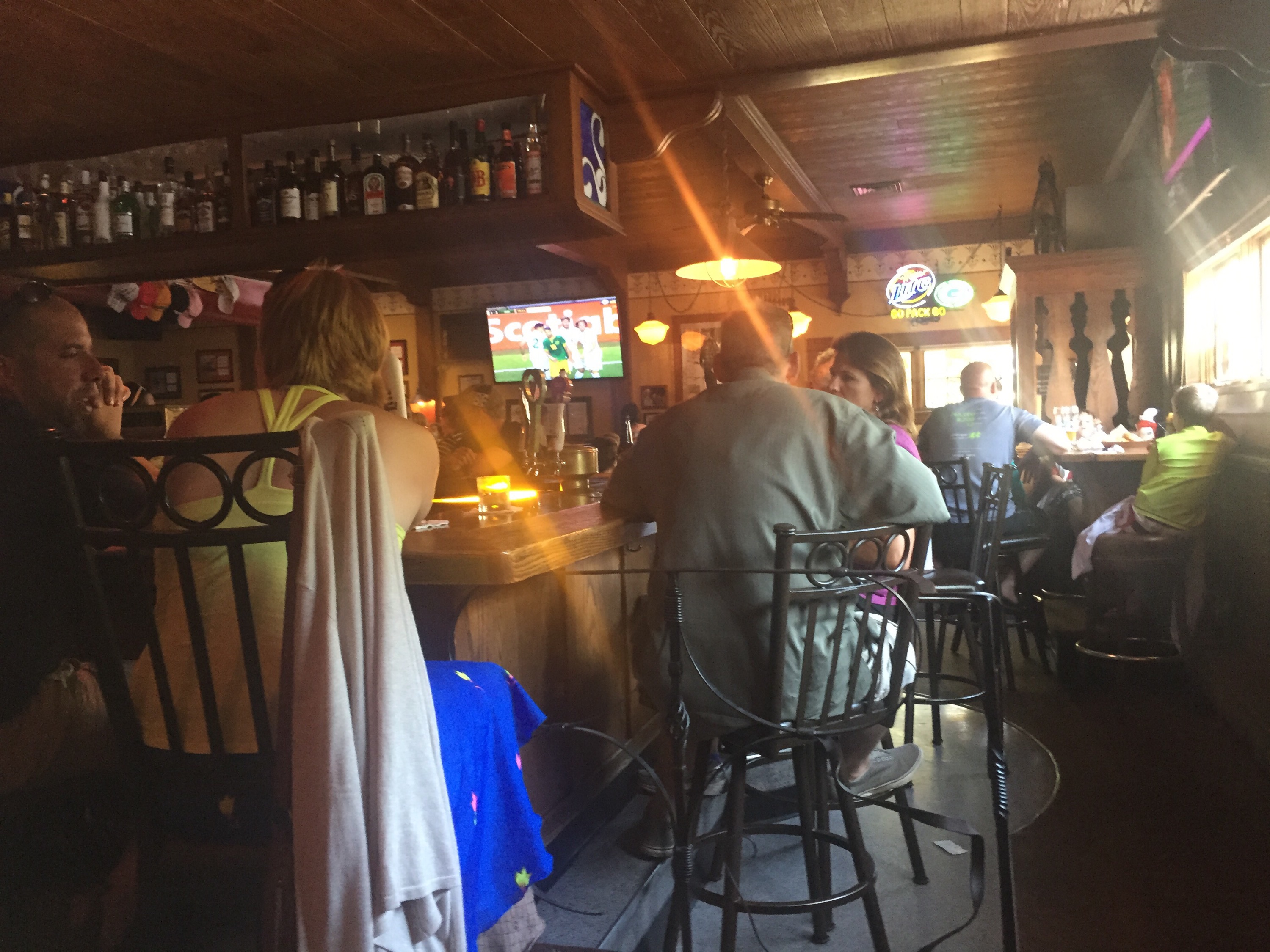
My first choice of restaurants in Fish Creek (a piza place across the street from the prk entrance) had a 45-minute wait for a table, so I went down the street to the historic business district and ended up at the Bayside (there’s that key word) Tavern.It’s a few steps up from the bar-and-grills I’ve been frequenting. 
Starting up along Green Bay

Wednesday, 22nd July 2015; 1:30 pm

I slept late this morning: 6:00. I still kinda took my time breaking camp; instead of taking three hours I took two. 🙂

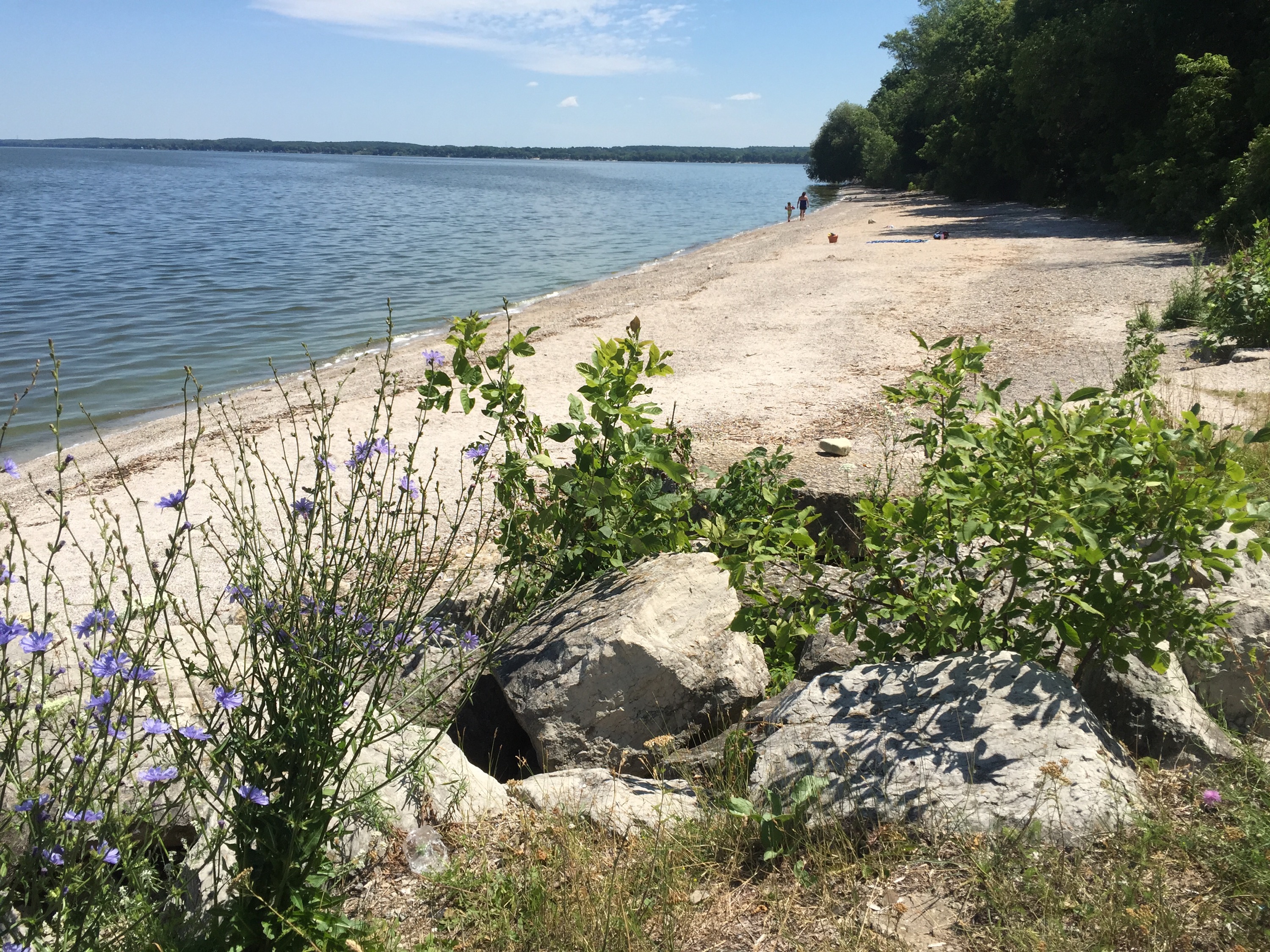
I had a very nice but too-brief ride along the Fox River, but had to turn east to avoid following it into Green Bay (the city, not the bay… It must be confusing to live around here). After a confusing mix of farmland and subdivisions I made it to the east shore of Green Bay (the bay not the city) and started riding the smallest shorelinest roads I could. It’s not a very beachy shoreline, more limestone cliffs. I stopped at a tiny little park dedicated to the spot (somewhere nearby) where the French explorer Nicolet “discovered Wisconsin” by meeting the native leader Red Band and his people. Another stop was a county park with a steep drive down to a boat launch and token beach.   

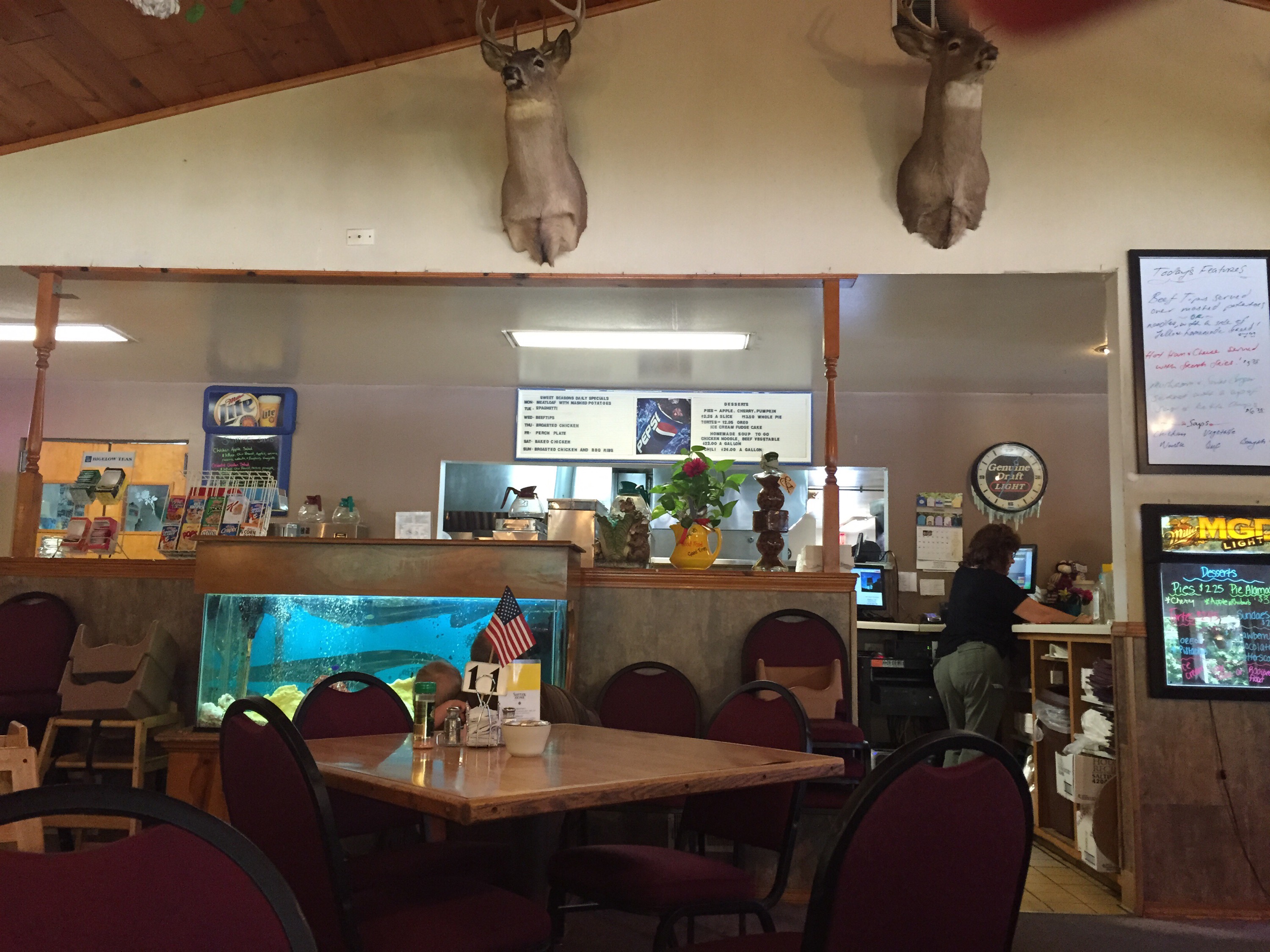
I had to get on WI-57 briefly, which reminded me of why I’m taking the hard-to-navigate route instead. That got me to Dyckesville, where I pulled in to the Sweet Seasons (a family-restaurant style place) for lunch.  

Change of plans

Wednesday, 22nd July 2015; 7:57 am

I’m not a particularly spontaneous fella, and I like to plan things out carefully on a trip like this, but I try to keep my mind open and stay flexible. And I think I’m changing the itinerary. 

The main thing that got me thinking about it was the weather forecast for the last night/day of the trip, showing almost-certain rain. Bleh. So I considered whether I could finish either half a day or a full day sooner. (The ferry runs at roughly 12-hour intervals, so that’s my constraint.)

Also, I’m feeling like I’ve accomplished most of what I set out to do. For example, I’m already maybe a couple hours from finishing my circumnavigation of Lake Michigan. I still want to tour Door Peninsula, but I can get that done in two days rather than three. 

So I think I’m going to skip the last night’s camping and instead rearrange my route a little to end up in Manitowoc that night, and take the Badger back a night earlier. 

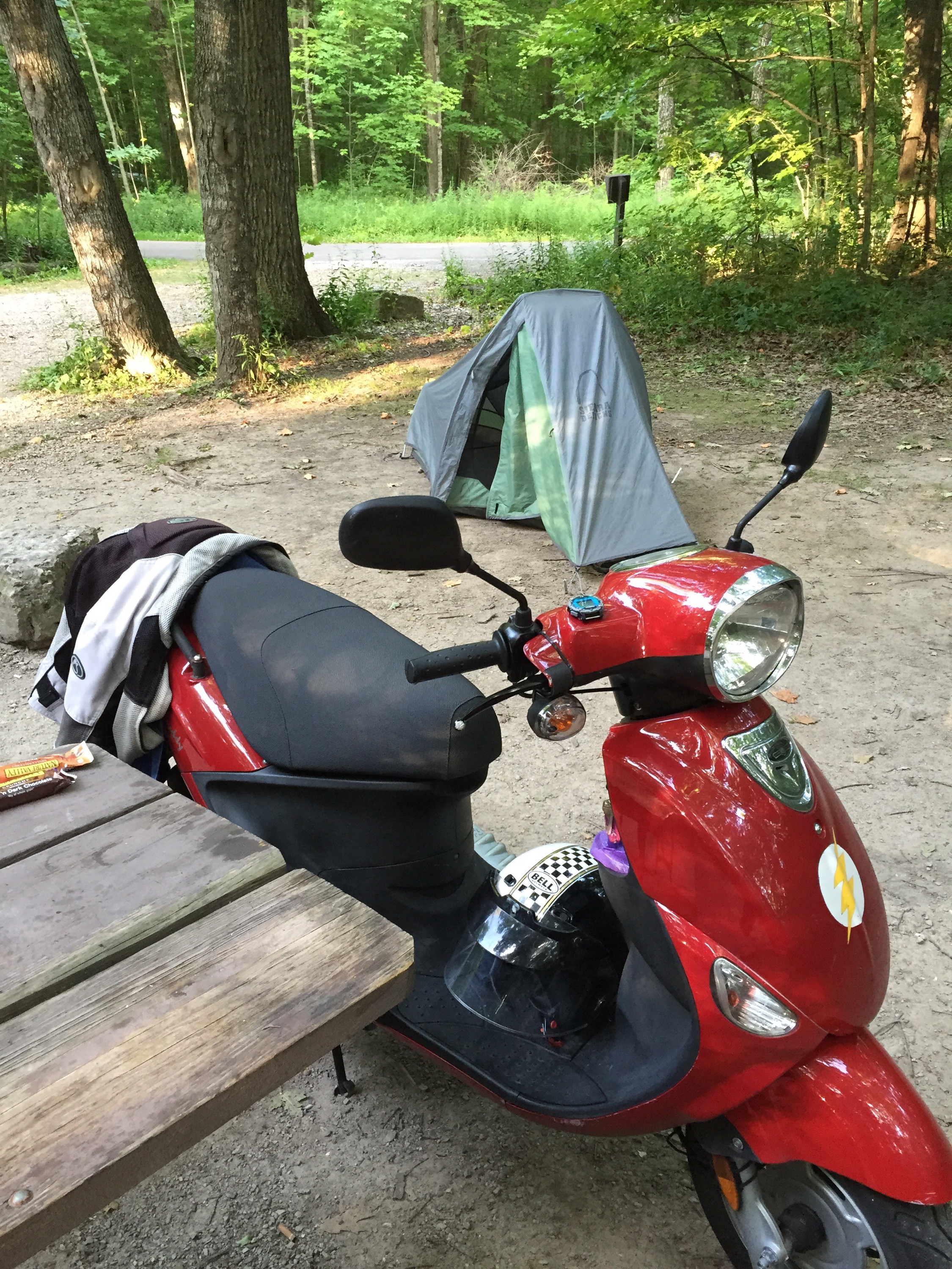
And since I have nothing better to show a picture of at the moment, here’s my scooter and tent: